
Subparts
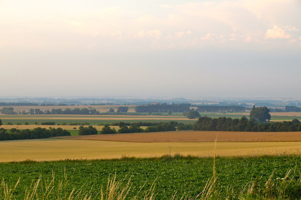
Magdeburger Börde
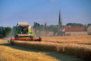
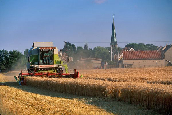
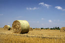
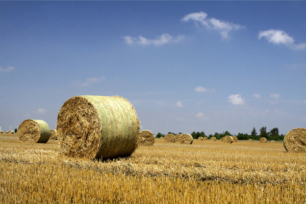
Ernte bei Groß Ammensleben
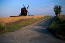
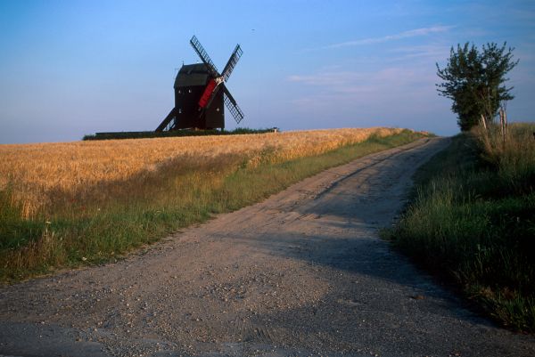
Bockwindmühle bei Eimersleben
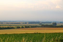
Ackerflächen
Spätsommer
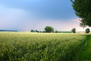
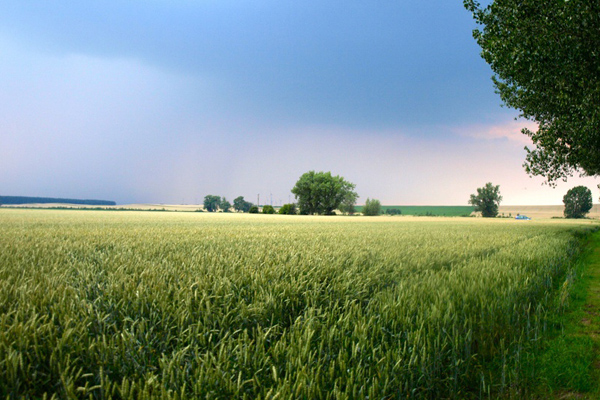
Kornfelder

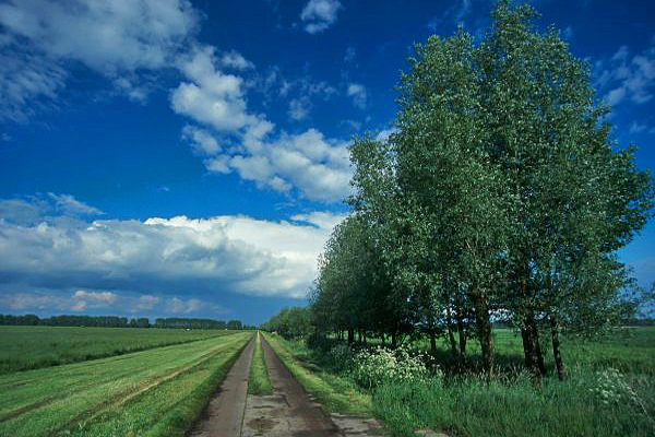
Landwirtschaftliche Straße
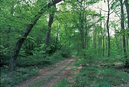
Lindenwald bei Colbitz
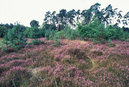
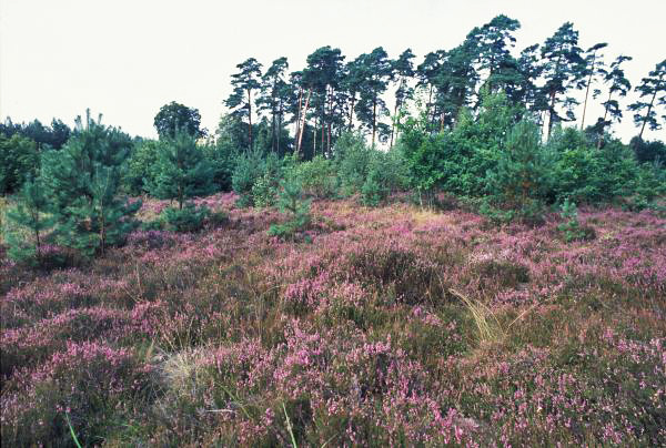
Heidelandschaft
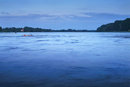
Pappelsee bei Magdeburg


The Magdeburger Börde, the largest black-earth area of Germany, is hemmed in by the Elbe, Saale, Ohre and Bode rivers. This fertile lowland is flat and scarcely wooded. Huge grain and sugar beet fields form the most prevalent trait in this region. Traditional three-sided and four-sided farms are characteristic features of the ancient villages. The Grosse Bruch, a long, wet lowland landscape, extends into the vast farmland plain, forming a marshland dotted with meadows, pools and streams. To the West, right near the former intra-German border, are the Ohreaue floodplains, a barely fragmented space of pristine scenery with undisturbed streams and lowlands. The region's eastern boundary is considered to be the Elbe glacial valley within the “Middle Elbe” Biosphere Reserve. The Magdeburger Börde, located in the Harz Mountains' precipitation shadow, is one of the most arid regions of Germany.
Landkreis Börde
Salzlandkreis
Middle Elbe Biosphere Reserve
Magdeburg Region