
Subparts
Nördliches Harzvorland
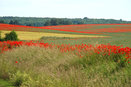
Landschaft bei Osterwieck

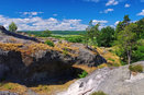
Höhlen bei Blankenburg
Blick von der Teufelsmauer

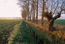
Großes Bruch im Herbst
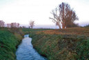
Wassergraben im Großen Bruch
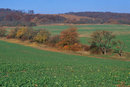
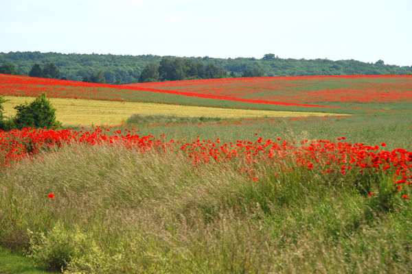
Felder bei Halberstadt und Höhenrücken Huy
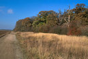
Feldweg auf dem Höhenrücken Hakel
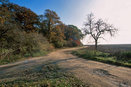
Höhenrücken Hakel

Blick von der Teufelsmauer
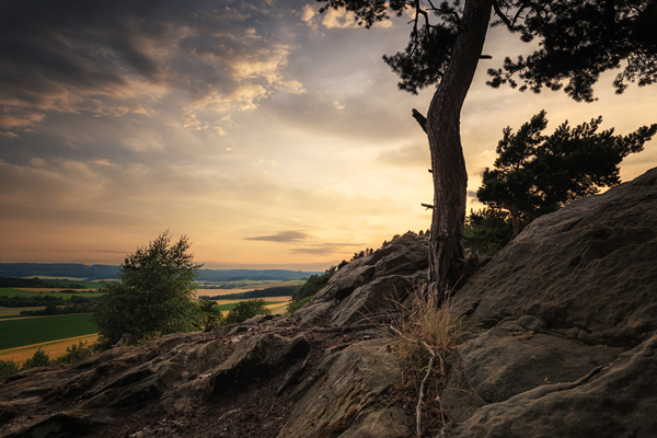
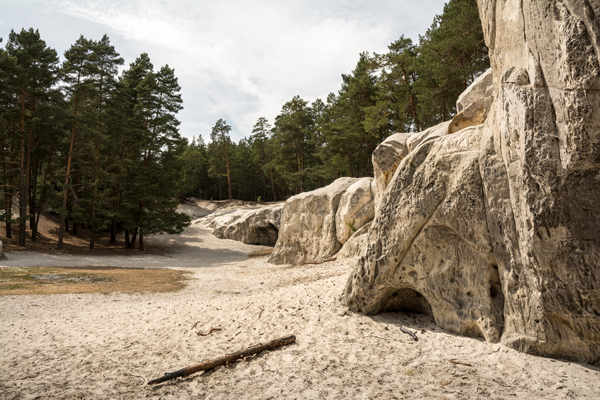
The Nördliche Harzvorland is a region characterized by rolling hills, vast crop fields, low mountain ranges, and lowlands created by rivers. Due to its favorable climate, the region is dominated by agriculture. Apart from the traditional seed breeding industry, the fertile loess soil is used for wine, fruit and extensive grain and root crop growing. The Grosse Bruch, a narrow and low strip of land stretching along the former intra-German border, its meadows featuring ditches lined with reed and willows, merges into the Börde landscape toward the North. In due distance from the Harz mountains are the north-south-orientated small ranges of the Fallstein, Huy and Hakel hills. Millions of years ago, these terrains were pushed upwards by the pressure induced by the formation of the Harz mountains; their dry limestone provides fertile soil for a vegetation of partially ancient beech forests. The Huy hills are characterized by a unique phenomenon: the so-called “glacier pots” (Gletschertöpfe), rock formations caused during the Ice Age by melt water erosion. The Teufelsmauer, a long stretch of jagged sandstone formations, is a wild potpourri of bizarre rocks and groves of birches, oaks and mountain ashes, a landscape reminiscent of the neighboring Harz mountains. The regions main cities are Halberstadt and Osterwieck.
Landkreis Harz
Salzlandkreis
Grünes Band (German)
Harz Tourism
Drehort Harz (German)
Location Magazin International 2016