
Subparts
Thuringian Basin

Wachsenburg
Bei Bad Berka

Fahner Höhe bei Bad Langensalza

Bei Apolda

Bei Bad Langensalza

Unstrut bei Gebesee

Rückhaltebecken Henschleben bei Straußfurt

Bei Ettersburg
Bienstädt bei Erfurt
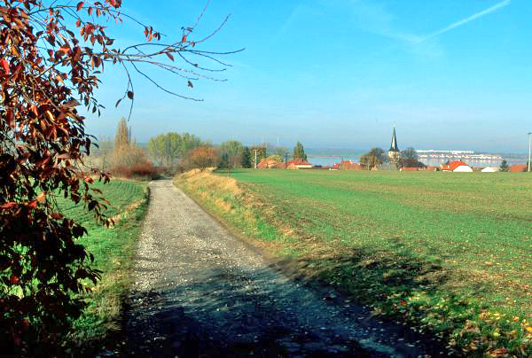
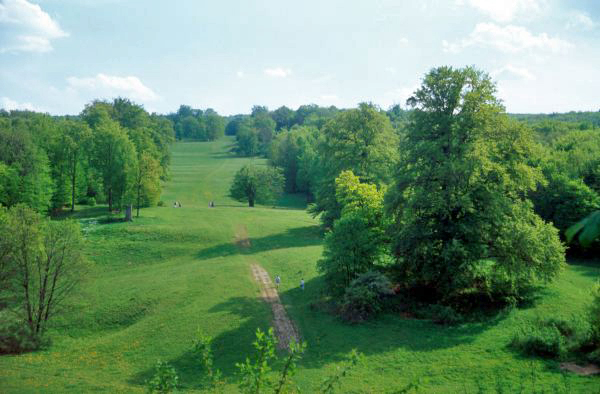
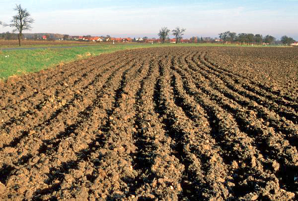
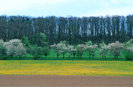
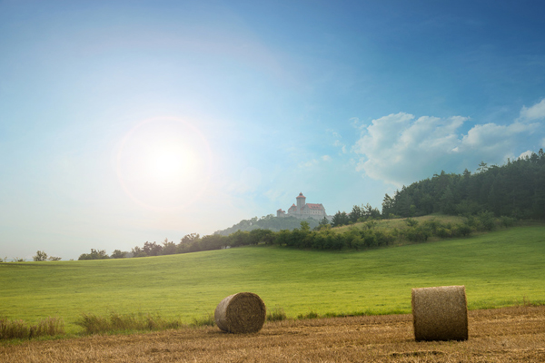
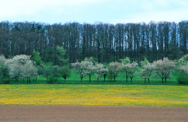
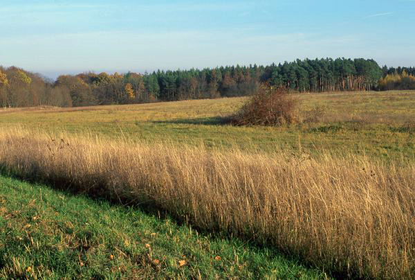
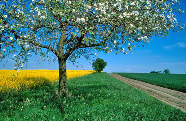
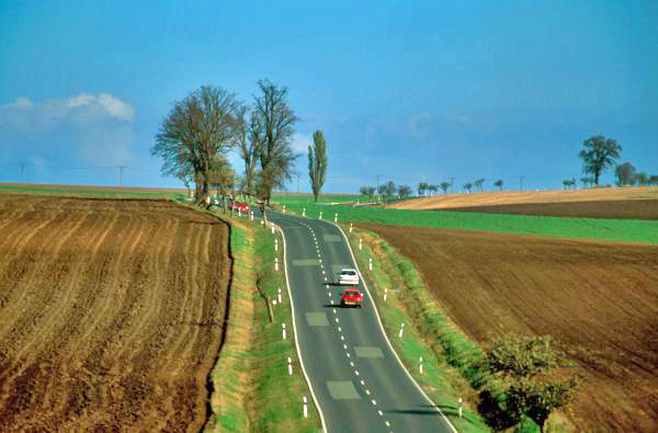
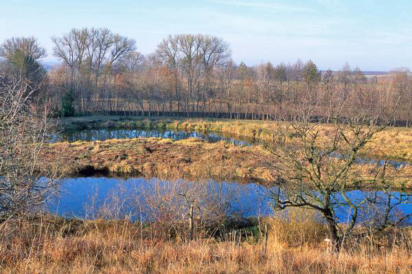
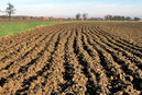
In the center of Thuringia, surrounded by the Thüringer Wald, Thüringer Schiefergebirge, Kyffhäuser and Finne mountains and the Eichsfeld region, lies the Thuringian basin (Thüringer Becken), a flat, open landscape with small lakes and streams. The biggest river in this fertile landscape is the Unstrut river. Forested heights give visitors a taste of the nearby Thüringer Wald and other low mountain ranges. The Thuringian basin is divided into two distinct subregions: on the one hand, the central, flat part, which features only few uplands such as the Fahner Höhe, the Ettersberg, and the Tannrodaer Gewölbe; on the other hand, the peripheral regions featuring the Hainleite, Ohmgebirge, Dün and Hainich mountains along the Northwestern edge, as well as the Jenaer Zeugenberge and shell limestone mountains along the Saale river. The landscape of the Thuringian basin was formed mainly in the Triassic period, featuring shell limestone, variegated sandstone and Keuper characteristics. The gently undulating floodplains with their wide river courses in the center of the Thuringian basin gradually give way to the hilly area around its edge. The region is used for intensive crop growing and is thus dominated by vast fields. Excellent soil conditions have made this possible in spite of a low level of precipitation; however, the soil shows evidence of severe erosion, mainly by wind forces. Apart from fruits and vegetables, woad was the crop of choice until the 17th century, a plant used for making blue dye.