
Subparts
Rhön mountains

Meininger Hausberg Dolmar
Meininger Hausberg Dolmar

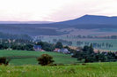
Kaltenwestheim

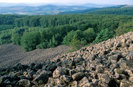
Hohe Rhön"Blockmeer" am Schafstein

Blick vom Meininger Hausberg Dolmar auf den Thüringer Wald
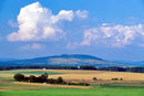
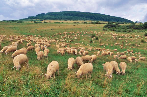
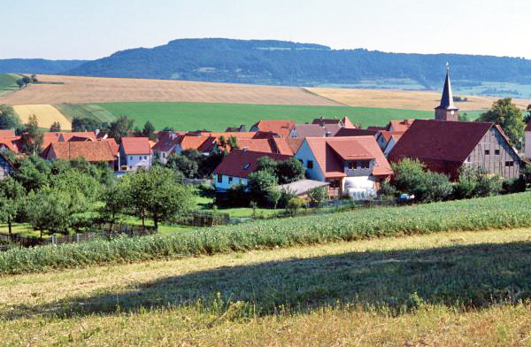
Rhönlandschaft

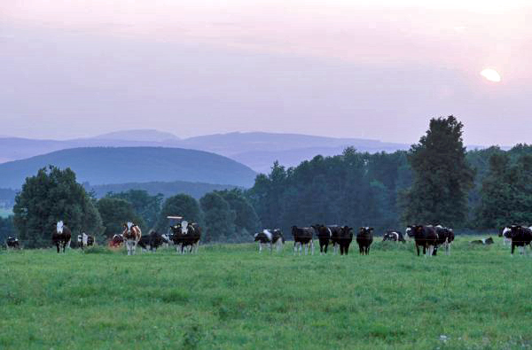
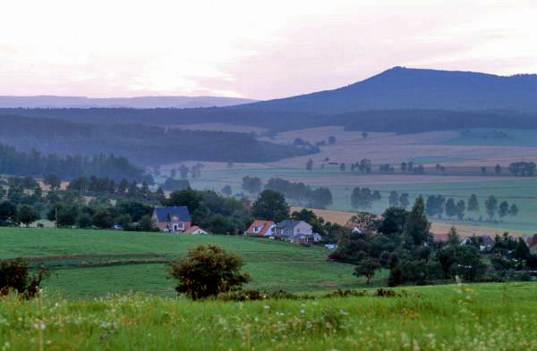
The Rhön mountains are located where the borders of Thuringia, Bavaria and Hesse meet. This is where a border used to separate Eastern Germany from Western Germany, which had the paradoxical effect of preserving the natural environment along this stretch. This low mountain range is of volcanic origin and is dominated by cones and plateaus of variegated sandstone and shell limestone. The highest elevation within the Thuringian part of the Rhön is the Ellenbogen mountain with its 813 meters. Additional impressive summits belong to the Hohe Geba (751 meters) and the Umpfen (701 meters) mountains. The Werra, Felda and Ulster rivers meander through the Vordere Rhön part, which is the part located in Thuringia. Once, the Rhön mountains were covered by dense forests, but now they are dominated by bare plateaus, the result of a logging activity started as early as the Middle Ages. These unique elevated plains with their expansive meadows and pastures are quite characteristic for the Rhön mountains. However, some pristine beech forests are still to be found on several crests and slopes. Another very characteristic feature is the number of vast limestone expanses covered by low-nutrient meadows, which serve as pastures for the region’s special breed of sheep. Old village structures and well preserved town centers with half-timbered Franconian-style architecture, surrounded by orchards, medieval castle ruins, church fortresses and Baroque structures are among the prevalent cultural features in this landscape.