
Subparts
Thuringian Forest and Slate Mountains

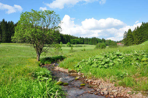
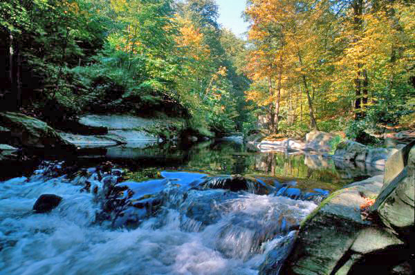
Gebirgsbach im Kanzlersgrund
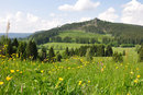
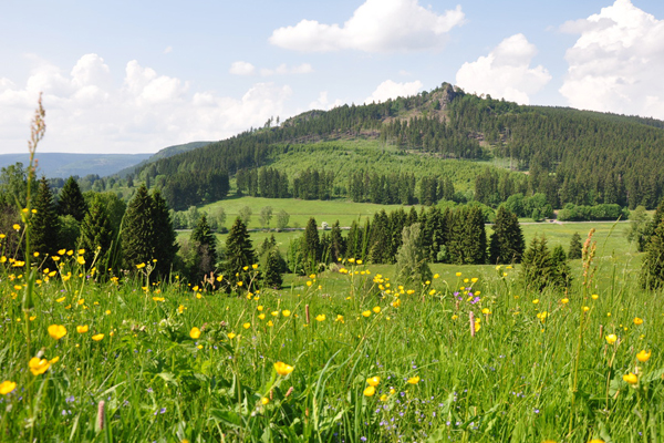
Kanzlersgrund
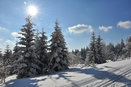
Winterlandschaft bei Frauenwald


Rennsteig bei Spechtsbrunn

Am Rennsteig bei Oberhof

Rennsteig bei der Schmücke
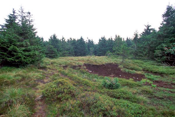
Rennsteig Hochmoor am Großen Beerberg

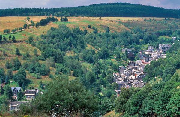
Schwarzatal zwischen Schwarzburg und Bad Blankenburg
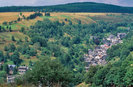
Lauscha
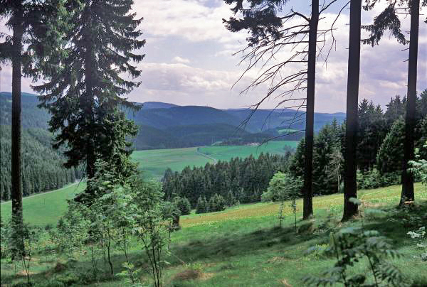
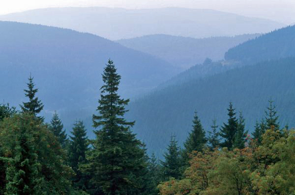
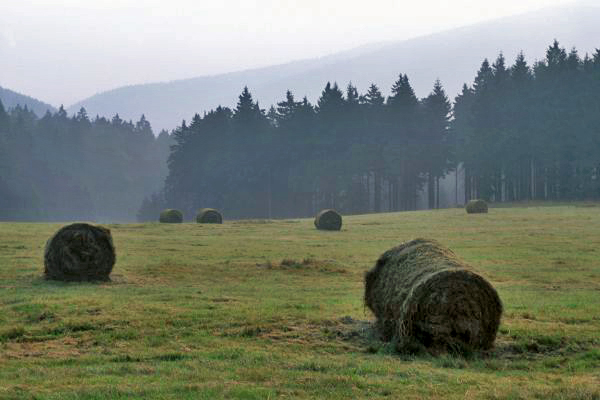
The Thüringer Wald range, the largest forested low mountain range in Germany, spans the distance between Eisenach in the Northwest and the upper Saale region in the Southeast. This region encompasses the cities of Arnstadt, Ilmenau, Rudolstadt, Saalfeld and Suhl. The Thüringer Wald mountains actually consists of two distinct strands of mountains of different age and rock material: the Thüringer Wald proper, 60 kilometers long and up to 14 kilometers wide, and the Thüringer Schiefergebirge (“slate mountains”). A famous 168-kilometer-long hiking trail, the Rennsteig, takes hikers through forests and blooming mountain meadows, and leads them past the Inselberg mountain (916 meters) and the Grosser Beerberg (982 meters). The Thüringer Wald mountains also harbor some fascinating features underground, such as the Marienglashöhle cave near Friedrichroda and the Feengrotten caves of Saalfeld. The mountain range is interspersed with numerous valleys; the landscape is dominated by rivers featuring dams and reservoirs, such as the Ohratalsperre and the Schönbrunn dams. Within the Thüringer Schiefergebirge range, wooded mountains are dissected by steep valleys carved by creeks. There are many houses with slate siding and slate shingles, which bear witness to the historic and present mining of slate for construction. The former mining of slate, iron ore and precious metals, including gold, led to the creation of industrial villages throughout the Thüringer Wald mountains.