
Subparts
Thuringian Saale valley

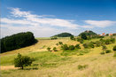
Sommerlandschaft Unterbodnitz

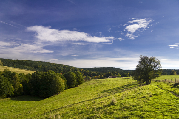
Landschaft bei Wolfersdorf
Sommerlandschaft bei Seitenroda


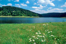
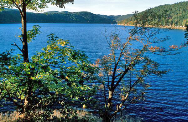
Bleilochtalsperre

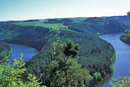
Talsperre Hohenwarte bei Saalfeld
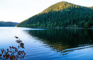
Talsperre Hohenwarte bei Saalfeld


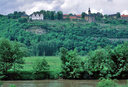
Blick von der Leuchtenburg
Saale von Schloss Burgk aus
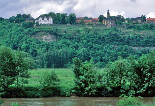
Blick auf die Dornburger Schlösser
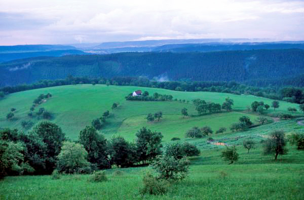

The Saale river originates in the Fichtelgebirge mountains, runs through the Frankenwald and Thüringer Schiefergebirge mountains, then heads northeast towards the city of Saalfeld. Near the city of Weissenfels, it passes the Leipzig basin (Leipziger Tieflandsbucht) and after 427 kilometers ends where its waters feed the Elbe river near Barby. Between the Saale’s spring and Saalfeld lies one stretch of the Saale valley (Saaletal) called the Upper Saale valley. Along this stretch, the Saale river meanders through the Thüringer Schiefergebirge past mountains between 500 and 650 meters in elevation. Today, the section between Blankenstein and Saalfeld consists of a series of dams, leaving little evidence of the log rafting practiced here some time ago. Near Lobenstein lies one of the five reservoirs of the Saale river, and along with it, the Bleichlochtalsperre dam, the biggest dam of Germany. It has a capacity of 215 million cubic meters of water; the dam’s wall measures 59 meters. The middle section of the Saale river, which also runs through the periphery of the Thuringian basin, passes the cities of Jena and Naumburg on its way from Saalfeld to Weissenfels. It is often referred to as the “valley of castles,” prominent examples of which are the Heidecksburg castle in Rudolstadt, the Leuchtenburg castle near Kahla and the Dornburger castles near Jena. The scenery of the Thuringian Saale valley is characterized by mountains, valleys, reservoirs and numerous forests. However, the Lower Saale region, located between Weissenfels and the Elbe river, is shaped more dominantly by agricultural and industrial use.